Data
Site Data
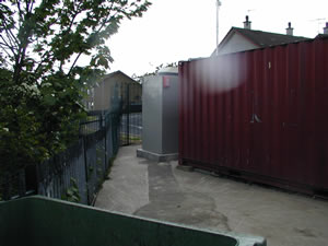
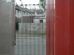
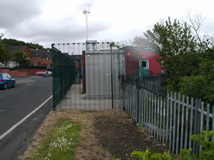
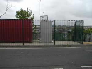
Strabane Springhill Park
Last Updated:
| Pollutant | Band | Concentration | Period | Last updated |
|---|---|---|---|---|
| PM10 particulate matter (Hourly measured) | Not applicable | No data | 24 Hour mean | 05/05/2026 13:00 |
| PM2.5 particulate matter (Hourly measured) | Not applicable | No data | 24 Hour mean | 05/05/2026 13:00 |
| Sulphur dioxide (SO2) | Not applicable | No data | 15 Minute mean | 05/05/2026 08:00 |
| Parameter | Parameter Name |
|---|---|
| SO2 | Sulphur dioxide |
| PM10 | PM10 Particulate Matter |
| PM2.5 | PM2.5 Particulate Matter |
| M_DIR | Modelled Wind Direction |
| M_SPED | Modelled Wind Speed |
| M_T | Modelled Temperature |
| DIR | Wind Direction |
| SPED | Wind Speed |
| T | Ambient Temperature |
General Information
- Altitude
- 28m
- Coordinates (Lat/Long)
- 54.821427, -7.453291
- Environment Type
- Urban background: An urban location distanced from sources and therefore broadly representative of city-wide background conditions e.g. urban residential areas.
- Kerb Distance
- 31m
- Height
- 3.5 Metres
- Site Comments
- Springhill Park, residential area of Strabane. Over 10m from nearest major road. Site is also part of the Black Carbon Network, with the name Strabane 2.
Active Dates
| Parameter | Date Started | Date Ended |
|---|---|---|
| Sulphur dioxide | 26/04/2002 | - |
| PM10 particulate matter (Hourly measured) | 26/04/2002 | - |
| PM2.5 particulate matter (Hourly measured) | 10/05/2022 | - |
| Modelled Wind Direction | 01/08/2010 | - |
| Modelled Wind Speed | 01/08/2010 | - |
| Modelled Temperature | 01/08/2010 | - |
| Wind Direction | 26/04/2002 | 15/02/2012 |
| Wind Speed | 26/04/2002 | 04/06/2015 |
| Ambient Temperature | 26/04/2002 | 10/10/2012 |