Data
Site Data
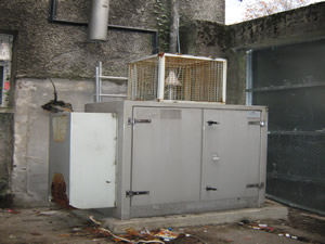
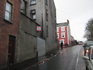
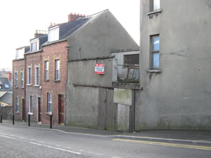
Derry Marlborough Street
Derry Marlborough Street closed on 31/05/2015. You can still view any information available using the Site Information tab, or find data in the Data section.
Sorry, there's no data for Derry Marlborough Street available to show.
| Parameter | Parameter Name |
|---|---|
| NO | Nitric oxide |
| NO2 | Nitrogen dioxide |
| NOXasNO2 | Nitrogen oxides as nitrogen dioxide |
| M_DIR | Modelled Wind Direction |
| M_SPED | Modelled Wind Speed |
| M_T | Modelled Temperature |
Active Dates
| Parameter | Date Started | Date Ended |
|---|---|---|
| Nitric oxide | 08/11/2011 | 31/05/2015 |
| Nitrogen dioxide | 08/11/2011 | 31/05/2015 |
| Nitrogen oxides as nitrogen dioxide | 08/11/2011 | 31/05/2015 |
| Modelled Wind Direction | 08/11/2011 | 31/05/2015 |
| Modelled Wind Speed | 08/11/2011 | 31/05/2015 |
| Modelled Temperature | 08/11/2011 | 31/05/2015 |


