Data
Site Data
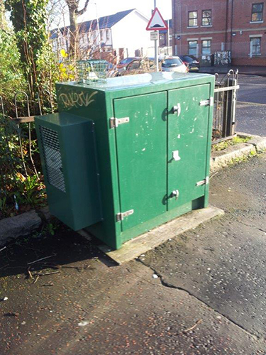
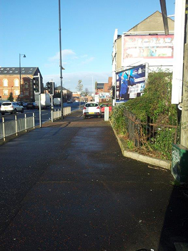
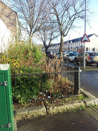
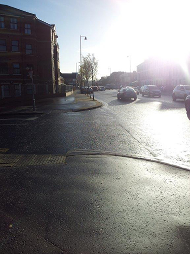
Belfast Ormeau Road
Belfast Ormeau Road closed on 13/05/2025. You can still view any information available using the Site Information tab, or find data in the Data section.
Sorry, there's no data for Belfast Ormeau Road available to show.
| Parameter | Parameter Name |
|---|---|
| NO | Nitric oxide |
| NO2 | Nitrogen dioxide |
| NOXasNO2 | Nitrogen oxides as nitrogen dioxide |
| M_DIR | Modelled Wind Direction |
| M_SPED | Modelled Wind Speed |
| M_T | Modelled Temperature |
Active Dates
| Parameter | Date Started | Date Ended |
|---|---|---|
| Nitric oxide | 24/05/2006 | 13/05/2025 |
| Nitrogen dioxide | 24/05/2006 | 13/05/2025 |
| Nitrogen oxides as nitrogen dioxide | 24/05/2006 | 13/05/2025 |
| Modelled Wind Direction | 01/08/2010 | 13/05/2025 |
| Modelled Wind Speed | 01/08/2010 | 13/05/2025 |
| Modelled Temperature | 01/08/2010 | 13/05/2025 |


